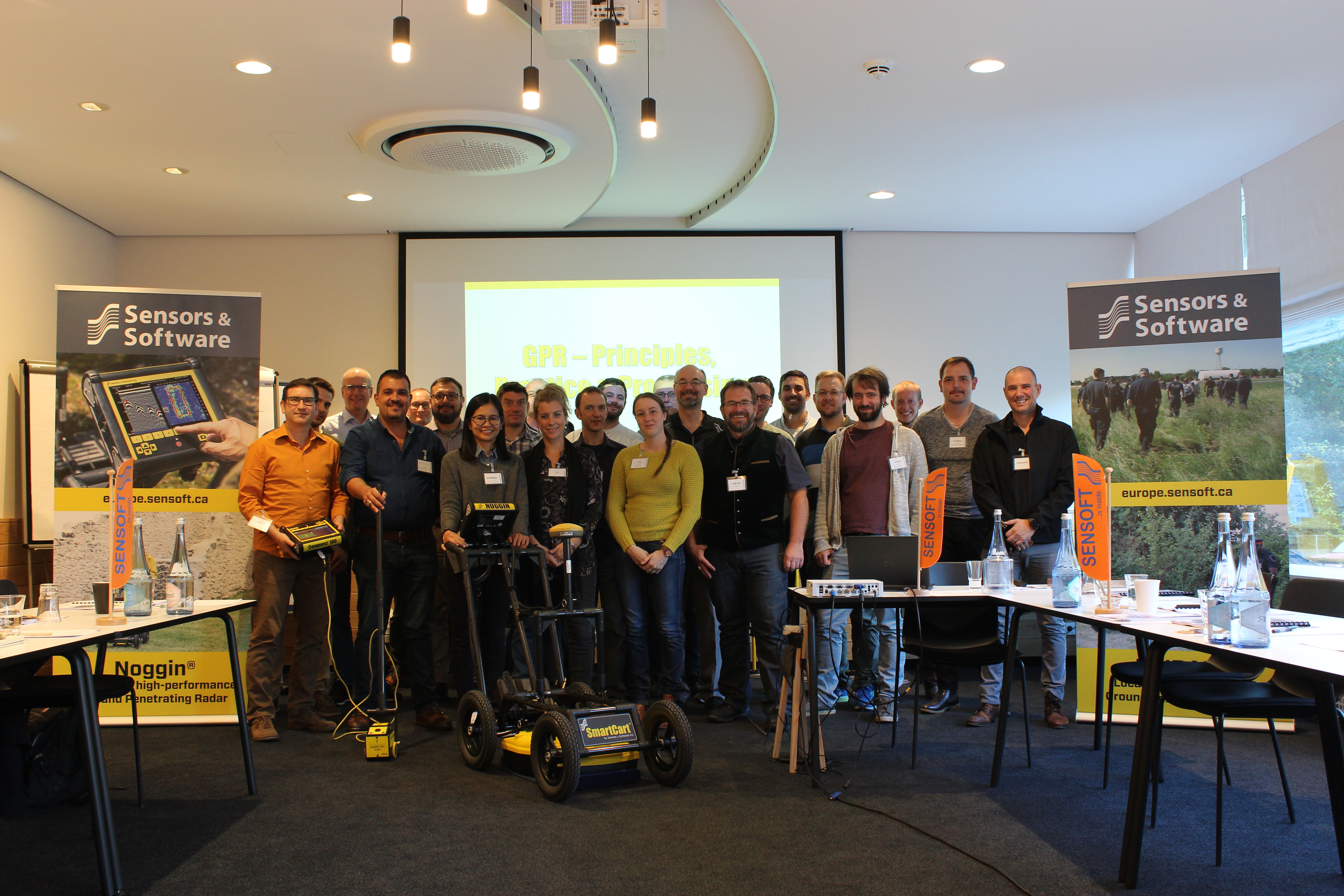
ensors & Software has conducted an annual 3-Day course in Canada since 1998; this course is in its 22nd year. In 2018, for the first time, we conducted a 3-Day course in Europe; in Höhr-Grenzhausen, Germany, the town where our European office is located.
We used the same formula that has worked so successfully in Canada for over two decades: the first day covered GPR theory and case studies, the second day was a complete day of hands-on field work and the last day focused on data processing, interpretation and analysis using the EKKO_Project™ software. For the field day, the students were split into groups and rotated through 4 stations, spending 2 hours at each station.
The students were also introduced to the latest generation of SPIDAR hardware, that allows networking multiple Noggin® or pulseEKKO® GPR systems together into multi-frequency, array and multi-fold systems, including the WARR Machine. A friendly competition developed between the groups, wondering who had collected the most data over the course of the day (see the results on page 2).
After a great field day, the last day was spent using the EKKO_Project™ software to plot the data in cross-sections, 2D depth slices and 3D volumes to analyze and interpret the data. A favourite feature of the students was the LineView module’s ability to launch Google Earth to pinpoint where a subsurface reflection was located; a great way to add context to the GPR data and improve the data interpretation.
We got some great positive feedback from the course, including this comment from one of the students: “It was well organized, sufficiently dense to be very useful but not overwhelming and moreover I enjoyed it. Well worth the time, money and the travel.”
We are already planning for the 2019 course. If you are interested, see the course details on our website.

A 100 MHz pulseEKKO® PRO system in Full Bistatic and SmartTow configurations for imaging geological structure, featuring the new Ultra Receiver, for deeper sounding.
19 megabytes; 1635 meters; 6539 traces @ 0.25m step size


A Noggin® 250 MHz system in the SmartCart® configuration for utility mapping; Line Scans and Grid Scans were done.

128 megabytes; 3680 meters; 73,611 traces @ 0.05m step size


A Noggin® 500 MHz system in the SmartCart® configuration for detailed forensic mapping; a series of 5×5 meter Grid Scans were collected.
Statistics
72 megabytes; 1050 meters; 52,503 traces; @0.02m step size


A Noggin® 1000 MHz system on the SmartChariot for a high-resolution road survey
42 megabytes; 3145 meters; 31,450 traces @ 0.1m step size


Overall Statistics
261 megabytes; 9510 meters; 164,103 traces


