

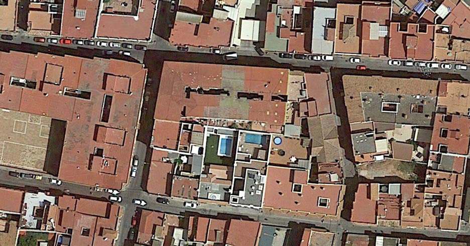
Ground Penetrating Radar | Water Surveys

Water WARRs
Water WARRs January 2019 For more than four decades, radio wave velocity and soil water content have been known to be strongly coupled. By measuring radio wave velocity, an indirect measure of the water content of soil can be obtained. Such measurements have the potential to optimize agricultural irrigation. Ground penetrating radar (GPR) maps the subsurface using radio waves.

GPR Sounding in Water – EKKO Update
GPR Sounding in Water Water depth and sub-bottom profiling Ground penetrating radar is often used to map water depth and sub-bottom stratigraphy. Such applications defy the myth that GPR does not work in water. Fresh water is an ideal environment for ground penetrating radar. The propagation velocity is very slow so that high resolutions can be achieved. Typically, the propagation
Detecting and Identifying Water Fraud using GPR | Sensors & Software Inc.
Detecting and Identifying Water Fraud Every year millions of dollars in water disappears from taxpayer-funded and private water distribution systems around the world. This invisible drain on the economy is a problem that governments and enforcement agencies worldwide have been struggling to deal with for decades. While some loss to leakage does occur, in some cases fraudsters are paid by

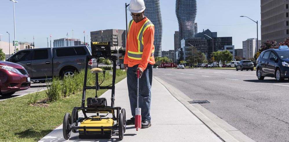
Subsurface utility engineering for water installation
Subsurface utility engineering for water installation GPR is used as part of the SUE process to locate buried utilities prior to new installation. A California city planned the installation of a new water line with the proposed route crossing several busy intersections. Challenges Many utilities existed beneath the intersections, but the accuracy of existing as-built drawings was
Locating a Storm Water Sewer with GPR
Locating a Storm Water Sewer with GPR Locating a “non-locatable” Concrete Sewer Horizontal directional drilling (HDD) is one of the most common ways to install new utilities into an existing neighborhood. This technique reduces surface disruption, increases installation speed and reduces the environmental impact. For drillers to utilize their guidance systems, they must
Measuring GPR Velocity for Water Content Estimation
Measuring GPR Velocity for Water Content Estimation The GPR wave velocity provides direct and indirect benefits. First, knowing velocity is essential for the calculation of the depth of an object that appears in a GPR data section. Second, less commonly known, GPR velocity can be used to infer another physical property when an empirical relationship between velocity and the other physical

Using the Water Table Reflection to Add Topography
Using the Water Table Reflection to Add Topography The interface represents a very large change in electrical properties. The reflection from this interface can be one of the strongest interfaces seen with GPR. Water and air represent the most extreme relative dielectric constant (K) values. Dry sediments with air in the pore space has a low bulk dielectric permittivity of about 5. Below the

Saltwater Infiltration
GPR systems sense saline groundwater Saltwater Infiltration I n coastal areas, the influx of saltwater into shallow fresh water aquifers can have dire consequences on drinking water supply and create other environmental concerns. The results in this case study derive from an archeological survey in the UK. While searching for an ancient Roman road, a graphic

Snow to Water
Snow to Water I n northern regions and elevated areas, snow pack develops in winter months with melting occuring during the summer. The melting snow pack in a watershed is a major source of fresh water that flows into streams and rivers. Drinking, irrigation, recreation and hydro electric power generation are among the critical water uses impacted by snow melt. Problem Every year
Request More Information

Languages:
Follow Us


