


rctic oil exploration requires safe transportation of heavy equipment over ice-covered areas. Use of seismic vibrator sources calibrate demand that safe ice thickness be assured and quality of data can depend on finding grounded ice. This case study follows the evolution of the IceMap™ system now widely used for ice thickness mapping.
Problem
Working on ice-covered areas is always challenging since safety is always a concern. The load-bearing capacity of ice is determined by thickness as the well-known Gold formula used by ice road managers demonstrates.
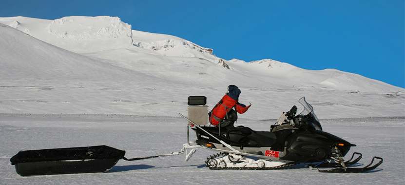
Seismic oil exploration faces an even more challenging requirement. Large vehicle mounted vibrator trucks are used to create sound waves for underground oil detection. These seismic sources require thicker ice and preferably grounded ice (ice covered areas where there is no water and the ice is bonded right to the bottom) to provide good coupling of signal into the ground.
GPR Contribution to Solution
Since the very early days, GPR has been demonstrated to be effective at determining ice thickness. While less common, GPR is also able to discern if ice is underlain by water or by soil or frozen ground.
Originally, GPR required a specialist operator to carry out the survey measurements. In 2004, the IceMap™ team started by deploying a Noggin® GPR system for ice thickness measurements. Excellent GPR data were acquired although analysis still required a skilled eye and operators needed training.
Working with the early adopters, the IceMap® system took shape. First, the user interface was simplified. Second, the ability to insert in–field coring data to calibrate thickness was added. Finally, the ability to automate thickness computation in real–time and display on geo–referenced base maps and Google Earth™ in the field was developed.

A by–product of extensive ice surveying was the realization that grounded ice was readily identifiable. The example below (Figure 2) shows how grounded ice shows up in a GPR cross section. Since soil and frozen soil are poorer GPR reflectors than water, grounded ice zones standout.
A corollary use has recently appeared with the need to access liquid water in frigid winter conditions. In many small lakes and rivers, extraction of water becomes challenging when the water freezes to the bottom. Locating where to drill to access pockets of unfrozen water is a major advantage over time-consuming trail and error borings.
Rapid decision making is enhanced by interactive user displays such as the Google Earth™ image (Figure 3). With ice thickness displayed in geo-referenced form, deciding on areas of concern is made easy.


Results & benefits
The evolution of IceMap™ demonstrates the value of GPR for arctic exploration. The same issue addressed by oil exploration is faced all across the Arctic by exploration team. Some key benefits of IceMap™ are:
- A simple, fast and easy–to–use solution
- Immediate feedback on ice conditions
- Capacity to locate both grounded ice and liquid water
- Users can be effective with only a few hours of training
- Ready correlation with exploration operations
- Effective users need minimal training


